The thing with being adventurous, is that you are never in one place long enough. My time in Hofsos and with Johann and Steinunn was epically short, as were the views, the freshly inhaled air and the charm of the seemingly untouched land. I’d vow to come back, and I will, at some point in my life.
There were a couple different options, according to the Rick Steves guide of Iceland, of how to get to the “Capital City of the North” that is called Akureyri. Steinunn told me was pronounced “Awk-You-Rare-Ree” with a fidgeting of the tongue for local dialect. However, for me, there was only one option. The option I took was the longer route on Highway 76, venturing off the main Highway 1 (Ring Road), all around the Trollaskagi Peninsula coastline heading clockwise east.
The benefits of this route, were to first visit the town of Siglufjorour that used to be an old fishing town and boat-making town. They would depart from this town and fish for 3 months over the summer June – August on tiny ships (by today’s standards). There was one large museum that spanned 4 buildings I wanted to visit to learn more. The drive to get to Siglufjorour was absolutely breathtaking and one of the best of the entire trip.
As I entered the town, I was awestruck on the endless blue skies with a small amount of clouds. The bright colors of the buildings seemed to fit perfectly with the natural landscape. The colors of red, yellow, light blue, all lined up at the edge of the ocean inlet in a valley. You could imagine right way the ships docked in the inlet and the fishermen’s quarters adjacent to their ships in the harbor. Present day fishing ships were lined here as well, but not to the extent of years past.
The museum was not hard to find as the bright red building that you paid and obtained your ticket was enormous and really stuck out. There was a good size gravel parking lot adjacent to the building with the “Herring Museum” sign posted for all to see.

The first red building housed the ticket office on the upper floor after taking some stairs up on the outside of the building in front. The same floor was filled with model ships in glass cases and the history of the town and first settlers. They had a log book filled with fishermen and ships that dated back to the 1920s.
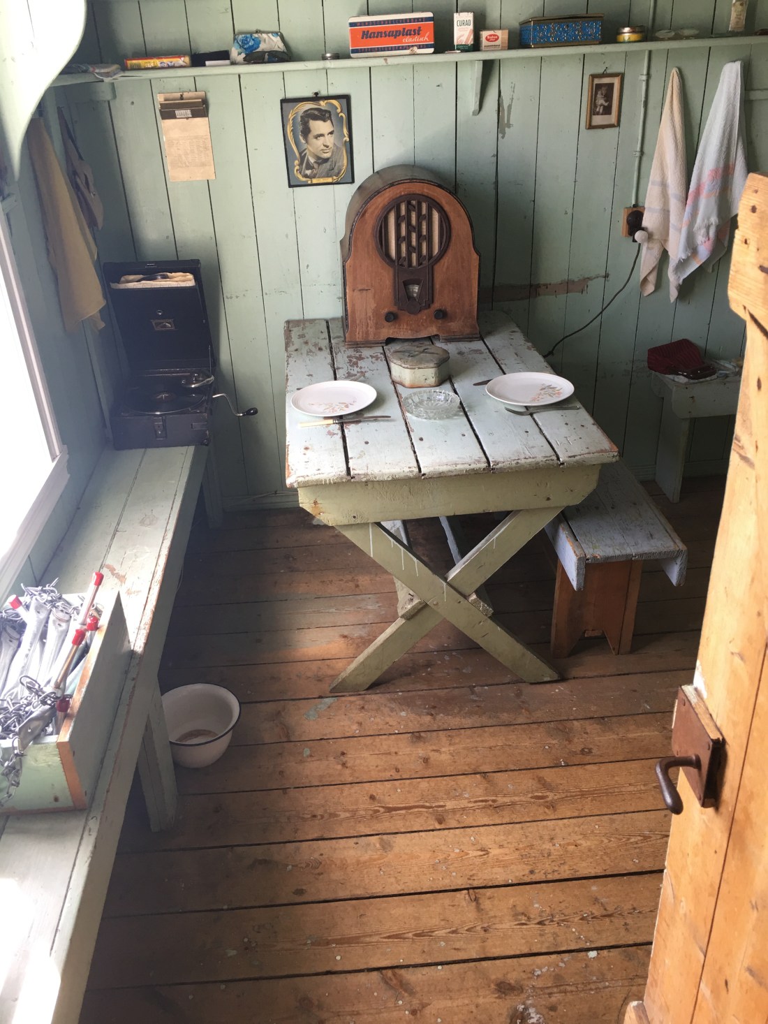
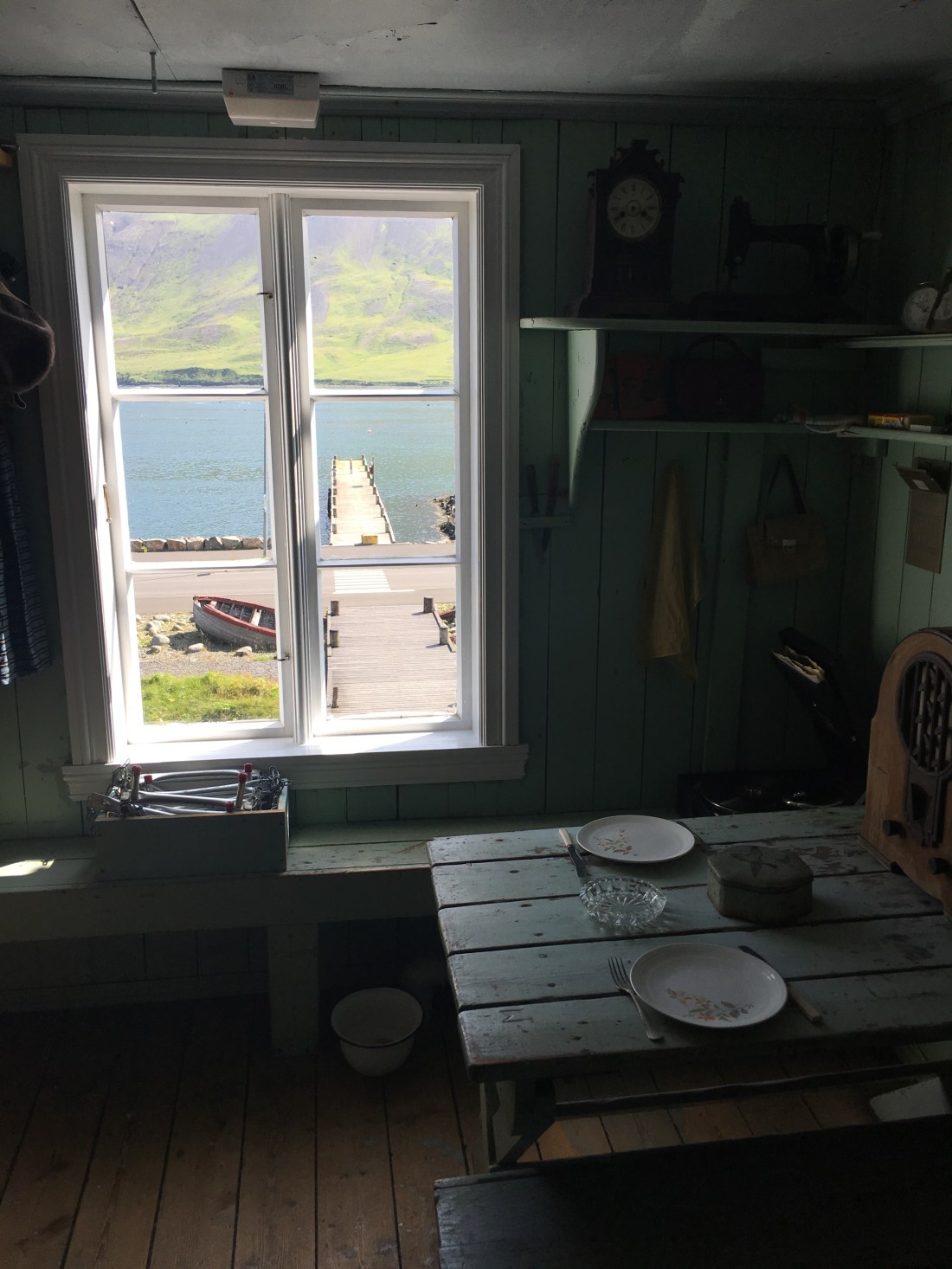
The upstairs area was replicas of the fishermen’s quarters including their kitchen area, bunkers and so forth. These were some small, tight quarters and there is no way someone of my height and weight could have lived in something so tiny. They would fit 4 in a room and there were bunkbeds.
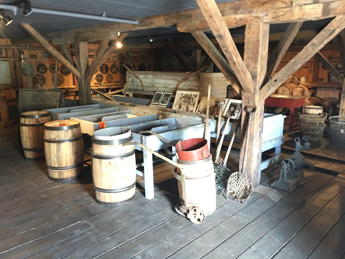
The lower part of the house opened like a huge garage and housed all the barrels and troughs they would store the fish when they arrived from sea. It was a storage quarters for all the equipment they would use and spices used to preserve the fish.
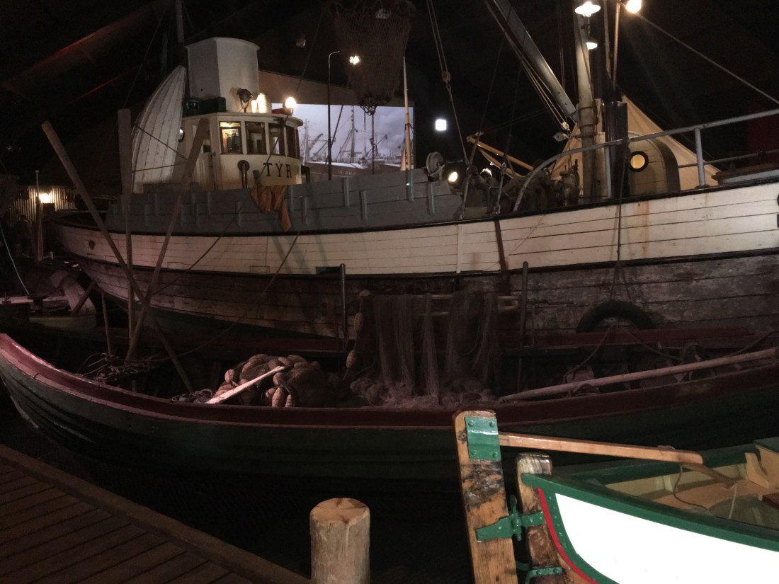
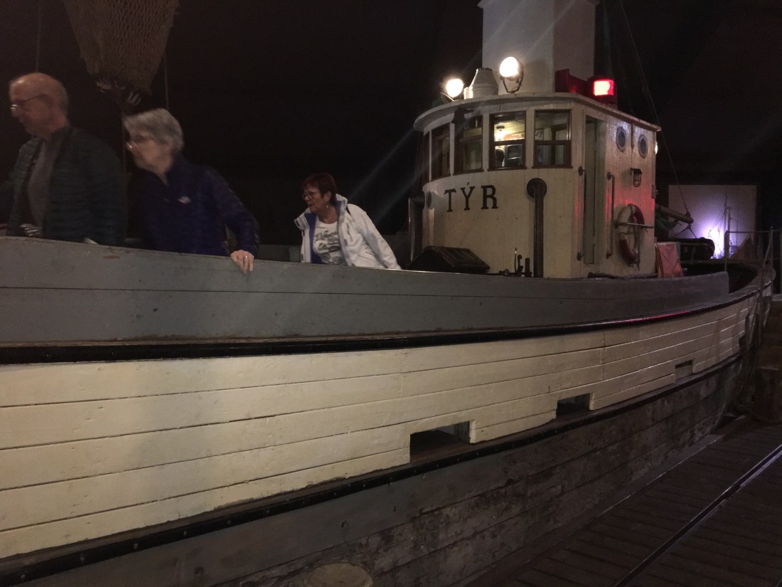
The second house was the salthouse where they stored all the spices to keep the fish fresh. The third house was the factory where they prepared the fish and the final house was the shipbuilding house, which was my favorite by far. They had sample ships you could walk on and see how truly small the fisherman’s quarters were inside the boat. I could not get over how small and cramped of a boat they lived for 3 long, summer months. The two pictures below are of the factory.
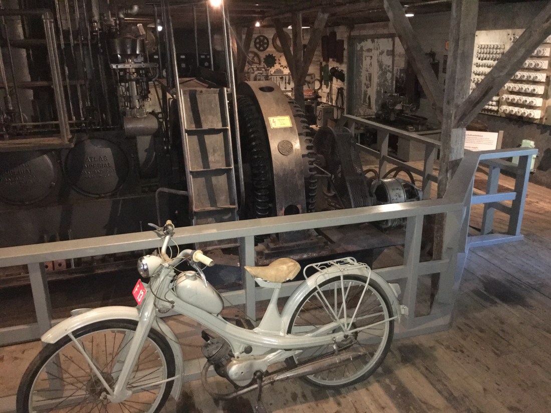

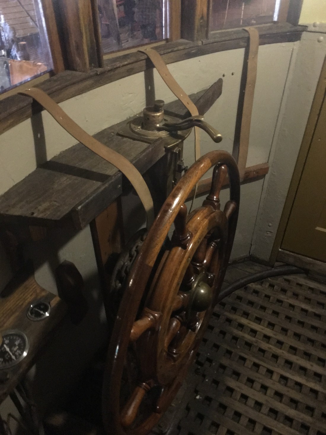
The final house was the shipbuilding house, and the pictures below don’t give it enough justice. With large pictures and videos constantly rolling, you really went back in time to become one of these fisherman and actually climbing up into the boats and the cramped captain’s quarters in steering the ship. I really don’t know how they did it. The picture of the steering wheel was super cramped, I couldn’t barely turn around inside it.

The peninsula was very mountainous and I can see how it would be next to impossible to venture during the winter season. Up in the mountains, the snow would cover most all the roads and make the trek most difficult. There are long single-lane tunnels that ran through some of the mountains, and one of them was just outside the city of Siglufjorour. After you leave the city, you curl around the inlet and back on the other side facing back towards the town, looking down upon it. The tunnel is at the apex of the mountain on the other side of the inlet. This video below is after I had curled around the inlet and was up above the city on the opposite side of the water and I was heading towards the entrance to the tunnel through the mountain.
As I approached the tunnel entrance, I was thrown off by the single lane. I saw headlights in the distance, and with it being a single lane, I was freaking out to the extent I put my car in reverse and started backing out of the tunnel entrance I just came from, thinking I had missed a one-way sign somewhere. It truly was something I had never experienced before. The last tunnel I rode through on the way to Borgarnes (just north of Reykjavik) was two-lane and I figured all of Iceland was setup the same way. I was wrong. After noticing I had not missed any sign, I continued on and I eventually noticed there are “stopping areas” every 100 yards or so where vehicles can pull over and let oncoming cars pass. This was going to be a fun game, I thought. Trying to gauge the distance of the oncoming cars enough to sit and wait and guess if there was a “off road” to wait it out until they passed. There definitely were more oncoming cars headed the direction I was coming from rather than behind me. There were no cars behind me and there were 3-4 cars pulled over waiting for me to pass. The thing about me going against the traffic, was there EVERYONE had to pull over at these stop areas that was oncoming. So, those stop areas got filled up fast. Most tourists take the Ring Road counterclockwise to start in the south first and work their way back up and around. I took the advice of Rick Steves, as I had mentioned in one of my first posts and went against most of the traffic, which was a fantastic recommendation. I found myself free of most traffic behind me and in front of me and to go more at my own pace.
The tunnel was enormous. It was probably 7-8 miles long at least. When I finally noticed light at the end, I did breathe a little sigh of relief as it does take some anxiety if you’ve never done anything like it in a foreign land. You just aren’t sure of protocol and etiquette and Rick Steves did not touch on this in his guidebook.
As you exit the darkness, you are born again into the embracing arms of Iceland. With the windows half drawn, I was able to breathe in the pure and cool air again. There is something different about Iceland’s air. I compare it to a taste of a cold bottled water compared to tap water. It just tastes more pure, cool and natural. That comparison can be made for the land, air and sea of this purified world.
The drive from Siglufjorour was breathtaking en route to my next destination town of Dalvik. Dalvik was also known for their whale watching excursions, but I had little time as I was still planning on hitting a couple more towns en route to my final destination that day, which was a cottage overlooking the ocean in Husavik, the top whale watching town in all of Iceland.
The drive to Dalvik might have been the most scenic along the coastline. With endless sunny and blue skies, I lucked out on the temperature and the sun. I had read about a cafe in Dalvik called Gisli Eirkur Helgi Cafe. It was an all-you-can-eat lunch and it was decorated like an old ship bar on the inside. It just had so much character and brought you back in time. The lunch was extremely expensive at $17 for lunch, but the owners of the house/care were making the soup fresh in the kitchen in the back. They couldn’t have been nicer people. The link to the cafe is here, they only have a Facebook page: https://www.facebook.com/bakkabraedurkaffi/
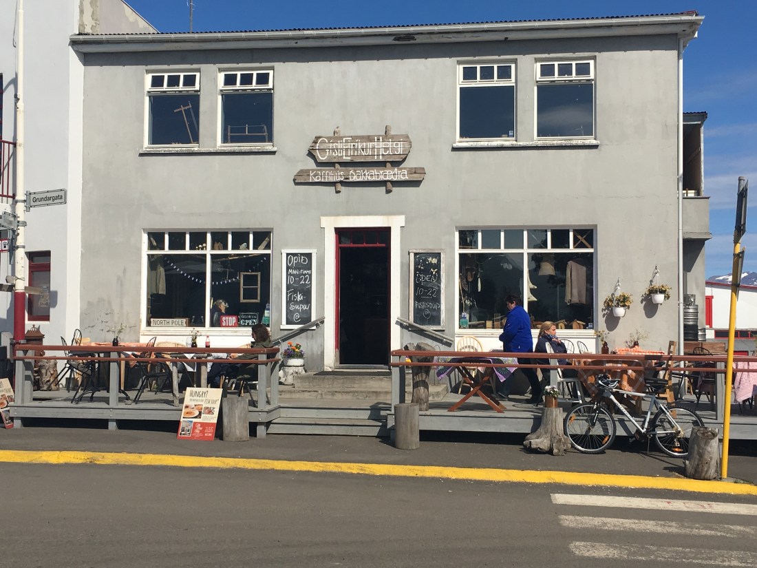
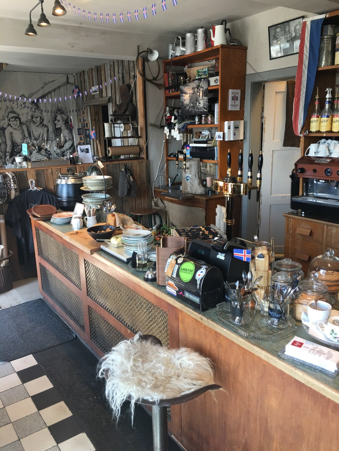
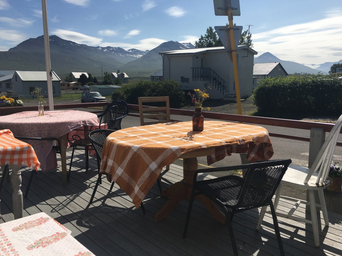
After grabbing my fresh, warm soup and salad and bread, I headed out on the front patio since it was such a perfect day outside. The views with the mountains in the background were spectacular. The cool temps combined with the hot soup made for the perfect lunch spot. I had planned this well, this was Iceland. As you can see below, they had antique dishes and coffee cups.

After eating a quick, scenic and delicious lunch in Dalvik, I was on my way to the “Capital city of the North” for which they called Akureyri. I took Highway 82 back to Highway 1 (Ring Road). The Ring Road does not go around the peninsula, but rather cuts across inland for a faster route. I wanted the experience of the museum and the coastline drive and Dalvik, so I took Highway 82 that added a couple hours to my drive, but was so very worth it in every way. I was not in a hurry and factored it into my planning for the day.
The drive to Akureyri was one of the best drives of the entire trip:
After a few more hours of breathtaking sights, I arrived in the second-most populated city in all of Iceland, Akureyri. There are daily flights from Reykjavik to Akureyri, but for those people, I hope they have made the drive many times, because they are missing out on a whole heck of a lot.
The town is a port town with cruise ships that have encircled the country. It’s located in the northeastern part of Iceland, about 4 hours and 45 min drive from Reykjavik if you went straight through and avoided the peninsula and went more inland.
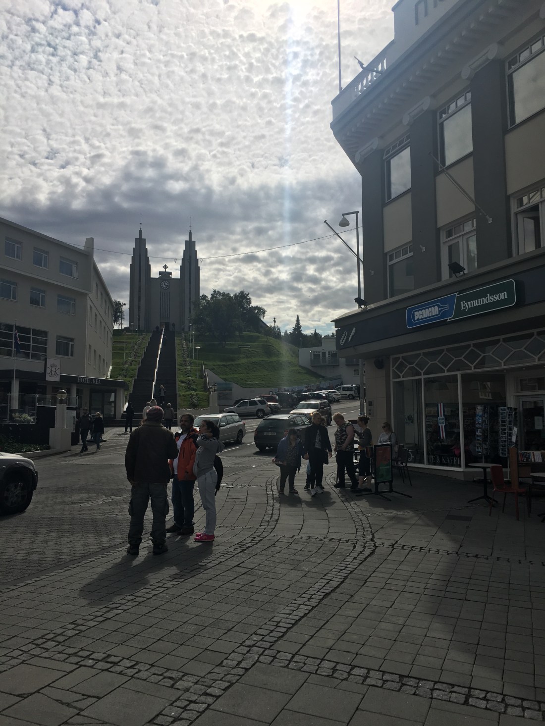
I parked downtown and started to explore. I only knew about a bookstore I wanted to check out, and a local church that overlooked the town, but other than that, I didn’t know much of what I wanted to see. The town had only a couple major retail areas, but you could tell it was a port town with huge cruise ships docked nearby right next to the water. There are a lot of souvenir shops and clothing shops. I found the local retailer 66 degrees north, in which their apparel is super quality, but very expensive, much like Patagonia or The North Face in the USA.
You can find their products here: https://www.66north.com/us/?redirect=true
Here are some downtown shots, the architecture was amazing:
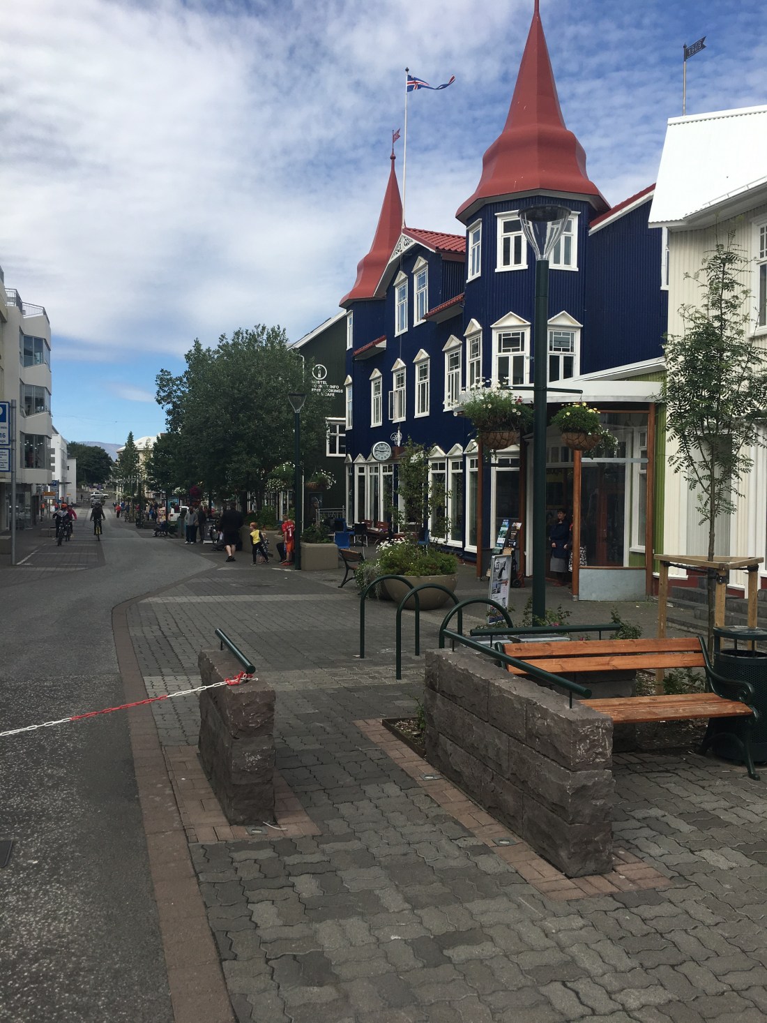

The bookstore I was searching for is on the right-hand side of this picture. This is the main bookstore of Iceland and is in many towns across the country.
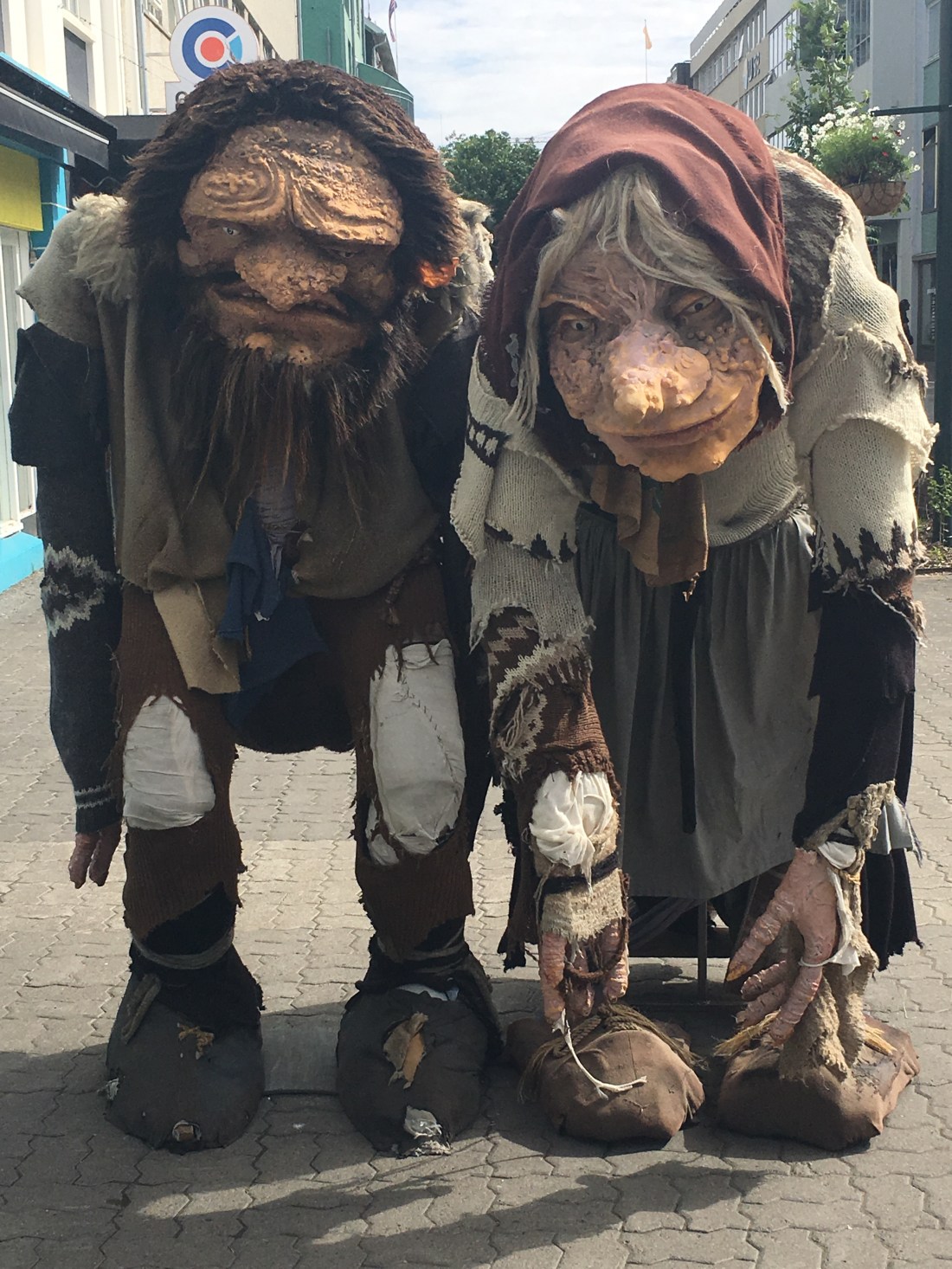
You can see they are so very proud of their fantasy heritage and folklore with trolls, fairies, dragons and fantasy. The love storytelling, which I loved.
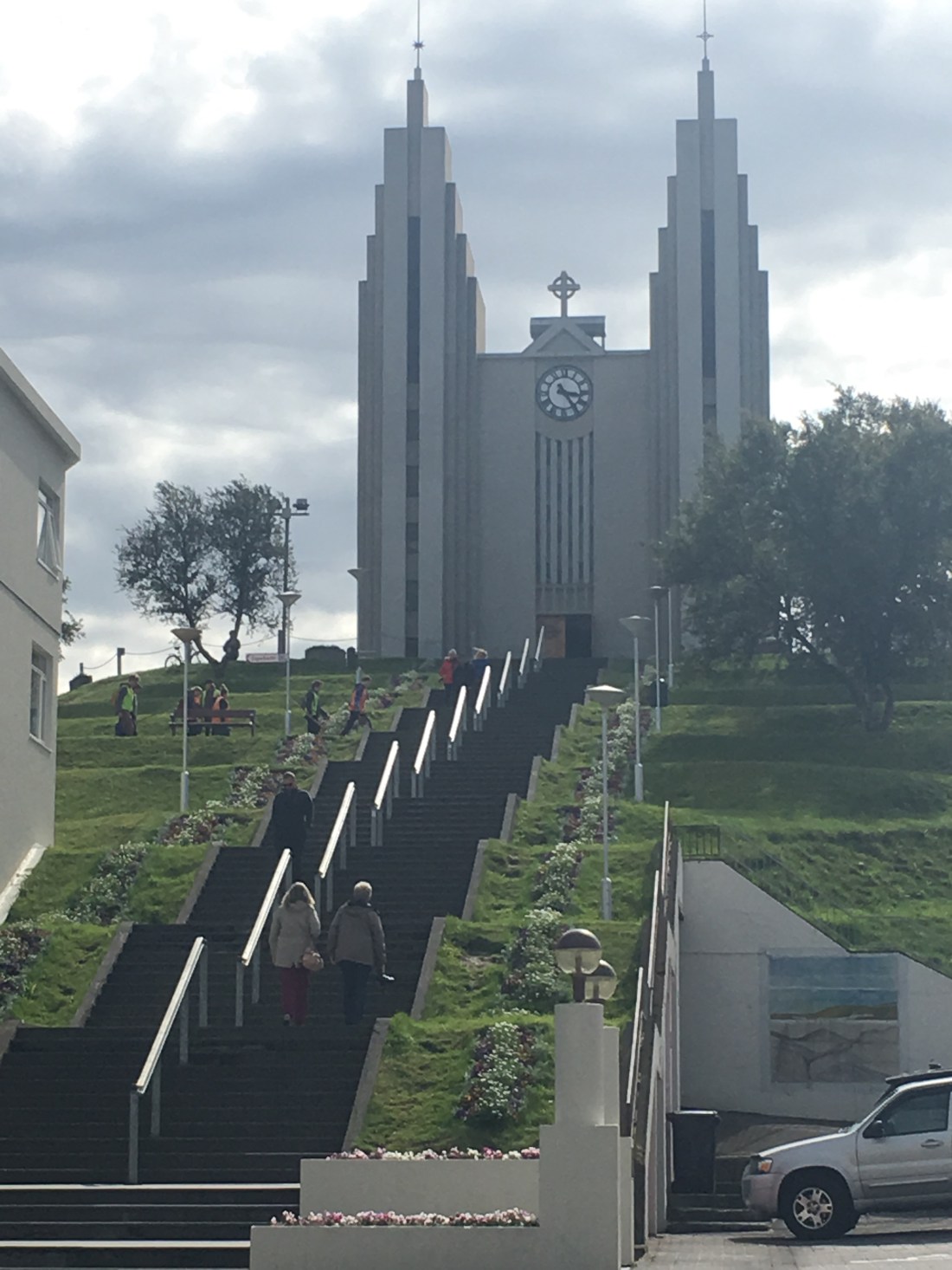
Here is the church that overlooked the town:

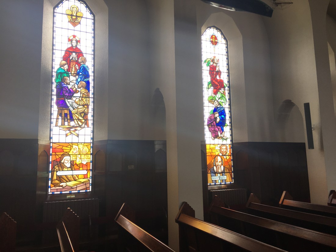
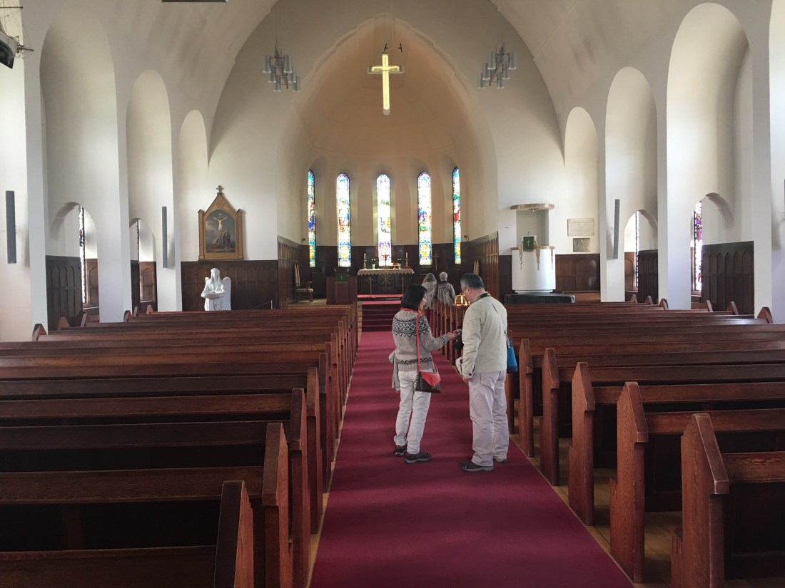
And the inside was just as mesmerizing, the glass told stories of the early church:
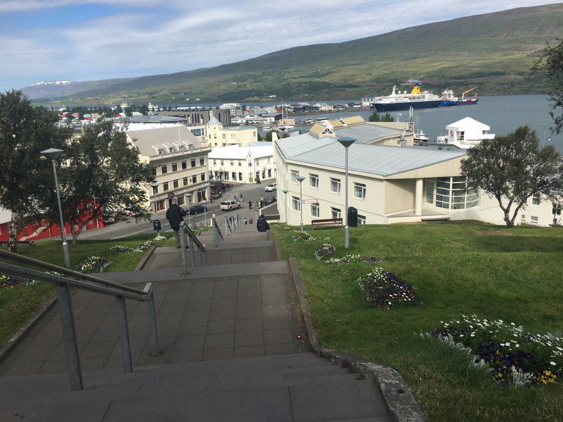
And the look back down over the town, and you can see the cruise ships straight in the distance to the right with the port a major part of the town. The town square is off to the left:
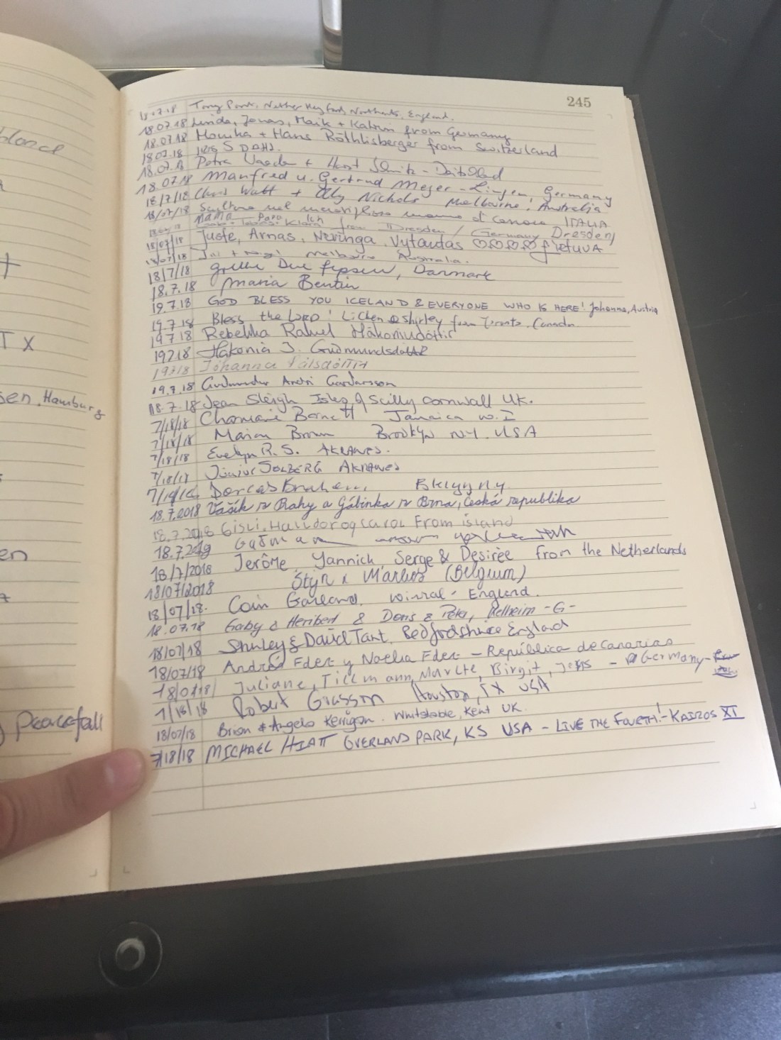
Just as I was exiting the church, I found a guest book and entered my name. I was a part of Rockhurst High School’s Kairos retreat my senior year and we were the 11th class. So, I wrote an inscription only those that have partaken in Kairos would understand “Live the Fourth!” To see all the signatures from people all over the world was a testament to the melting pot that is Iceland:
Spending the day in Akureyri was more back to reality. It was a little surreal to be in such rural areas the whole day with the drive and then land in bustling city in the middle of it all. I wasn’t a fan of the city all of a sudden and craved the adventure of the open road again and more of the isolation of the rest of the land. I wanted to explore the waterfalls, the caves, the mountains and the sea. After a few hours, I was back on the road again.
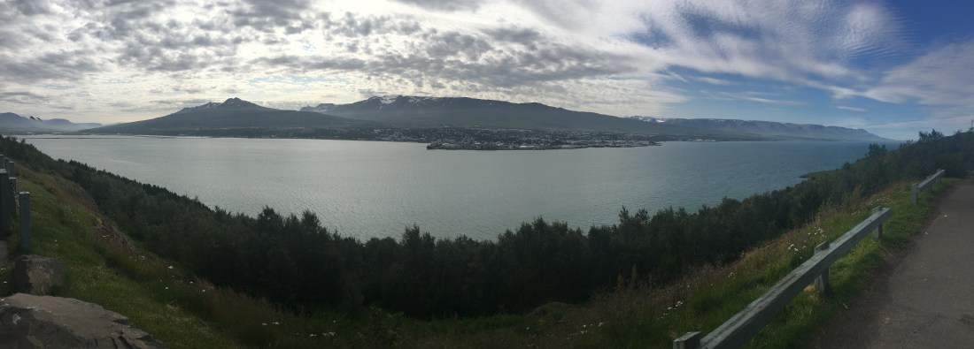
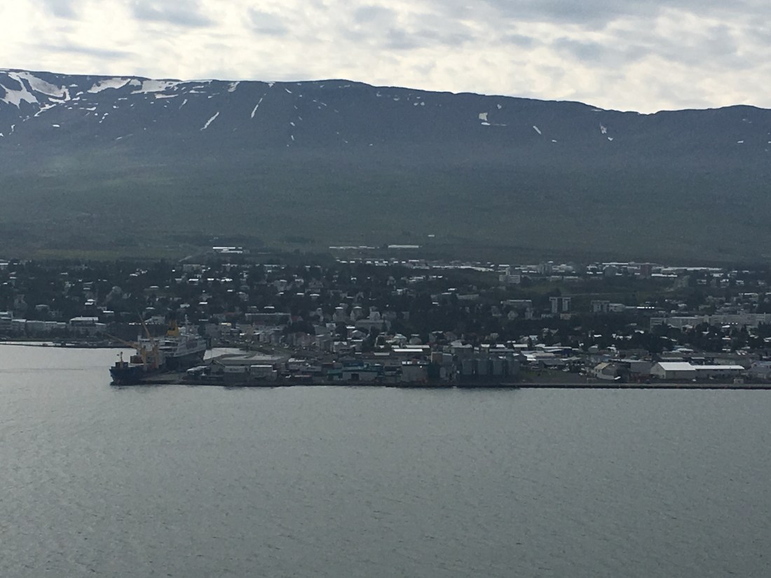
Much like Siglufjorour, you drove around the inlet of Akureyri and then up the mountain on the other side of the inlet, looking back down over the city. I’ll end this blog with the pictures and video below looking back down towards Akureyri, where you could sit in puzzled nature as to how this foreign land was a secret for way too long.
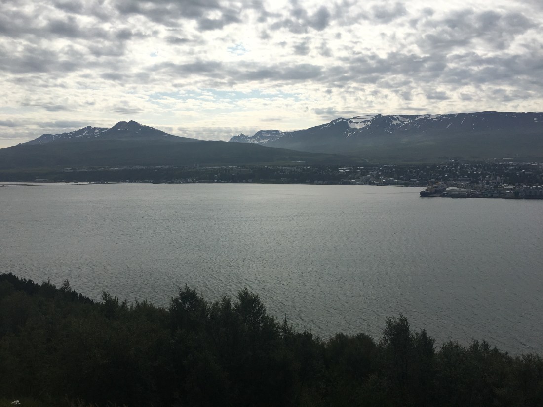
Until next time….on the road to Husavik and the cottage overlooking the sea…..
